
Subscribe to receive top agriculture news
Be informed daily with these free e-newsletters
October 1, 2012
As one of the driest Septembers in state history comes to an end, the drought situation in Minnesota is being assessed by a number of state agencies as well as University of Minnesota Extension.
The fall season is a critical hydrological recharge period for our state in terms of soil moisture, lakes and streams. Usually a very high percentage of the rainfall and snowfall is utilized by the landscape and little runs off during October, November and December. So it is critical for the overall health of our soil and water resources that adequate or surplus precipitation falls before the landscape freezes up for the winter (usually in December).
Let's take a look at the current drought picture:
Though early growing-season rainfall was predominately at a surplus during April, May and June, drought's imprint on the state has expanded since July. Severe or extreme drought as designated by the U.S. Drought Monitor is now prevalent in 45 Minnesota counties, most notably southwestern, south-central and northwestern agricultural landscapes. You can view the geographic distribution of drought around the state at the University of Minnesota climatology website, by visiting z.umn.edu/climatejournal.
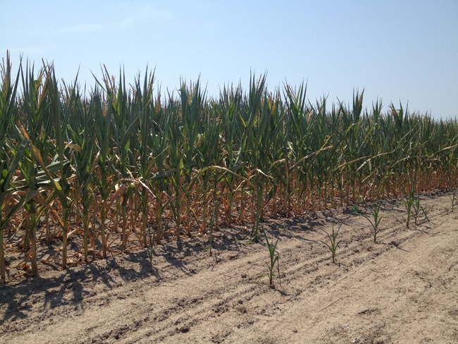
Since mid-July many counties have reported less than half of normal rainfall, while some areas also reported a record-setting dry September. Moorhead, Willmar and Morris were among those locations reporting a record dry September, with less than 0.20 in. in total rainfall. In addition, observations of stored soil moisture (top 5 ft.) routinely made at the University of Minnesota's Southern, Southwestern, and Northwestern Research and Outreach Centers are now showing near-record or record low values for the end of September.
Other signs of extreme dryness in the Minnesota landscape include lake levels that are drastically down, and flow volume on many Minnesota watersheds that is below the 10th percentile historically for this time of year. The danger of wild fires is very high in many areas of the state as well. Overall, the state has not seen this area and severity of drought since the fall of 2006.
At this point in time, the additional precipitation needed to alleviate drought in most of the counties currently affected ranges from 6 to 12 in. This is highly improbable considering that all-time record amounts of precipitation would be needed by December.
Only 17 of the past 117 years have produced a statewide average of 6 inches or more precipitation over the October through December period. This calculates to a historical probability of about 15%, or about one year in seven. The absolute wettest October through December period in state history (1971) produced a statewide average precipitation for the period of just less than 8.5 in.
Probably a more realistic expectation is that enough precipitation will fall before the end of the year that there will be some modest alleviation to the soil moisture deficits now in place. A wet spring will be needed for a decent 2013 crop in Minnesota.
Visit www.extension.umn.edu/drought for drought-related educational information, and climate.umn.edu for more information from the University of Minnesota's climatology working group.
You May Also Like
Current Conditions for
51°F
Partly Sunny
Day 52º
Night 36º
Enter a zip code to see the weather conditions for a different location.


