
Subscribe to receive top agriculture news
Be informed daily with these free e-newsletters
April 29, 2015
Long-range weather forecasters with WeatherBell are not shy in their antagonism towards those who claimed the sky was falling when Texas went through a serious drought just a few years ago.
According to WeatherBell Meteorologist Joe Bastardi, the claim then was that Texas and the South Plains were in a “perma-drought.”
Now that rains have returned to the Lone Star State and California is in the throes of a severe drought those cries have moved west.
Bastardi explains on his website the connection between sea surface temperatures in the Pacific Ocean and weather patterns over North America and the Gulf of Mexico.
While the buzzword of late has been El Nino, what gets missed by most in this discussion is that El Nino affects different areas differently, though there are some predictable outcomes.
WeatherBell Meteorologist Joe D’Aleo told me last year about this time that the El Nino brewing in the Pacific would likely be mild, and it was. He also said this made it more difficult to predict whether California would once again be dry or see gully-washers, which hit the state in 1998 with the grace of a typhoon.
D’Aleo now seems somewhat more confident in the likelihood of wetter weather for California this fall and winter because of rising sea surface temperatures in key equatorial zones.
As for what happens in California in the next rainy season, D’Aleo is not ready to place his Las Vegas bets just yet. Still, D’Aleo isn’t so sure California’s drought will be long-lasting.
“We expect El Nino to be moderate, gradually peaking in the fall,” D’Aleo said. “It should be strong enough to cause the storm track to be enhanced.”
Meanwhile, Bastardi explains in a video blog how things are shaping up for the near-term across North America and why growers in the Corn Belt states this summer might experience déjà vu all over again.
To over-simplify it, warmer-than-average ocean temperatures off the coast of California tend to produce high pressure over the West Coast. This blocks storms from California and pushes low pressure over the middle of the country.
The Climate Prediction Center with the National Weather Service shows temperature anomalies off the West Coast upwards of three degrees Celsius warmer than normal during the months of February, March and April.
The graphics also show warmer-than-normal sea surface temperatures hanging in along the entire West Coast of North America and expanding east from the western Pacific near Australia. This is the El Nino pattern D’Aleo is talking about.
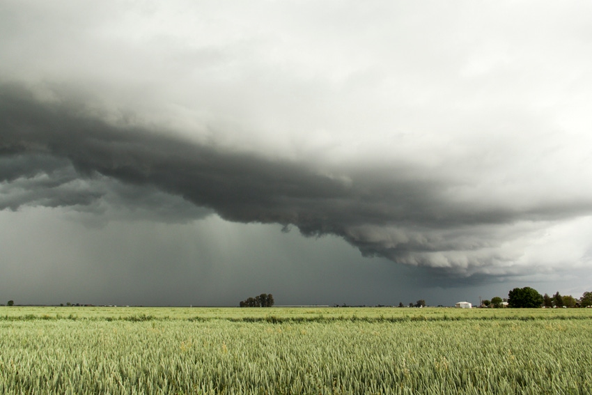
These conditions tend to produce low pressure into the middle of the United States, leading to mean more rain, snow and cooler weather. Bastardi sees that continuing this summer with cooler, wetter weather in the Plains states. This could mean a shorter growing season and continued challenges for growers in the middle of the country.
NOAA’s three-month outlook supports a wet pattern from Texas into New Mexico and northward into Colorado, Utah, Wyoming and Idaho. It also predicts a wetter pattern across the South.
Accuweather’s summer forecast paints a similar picture with continued drought in California, plus tropical rains in the Southwest. Drought relief and wet weather could expand from east Texas through the South with hot and dry in the upper Plains and strong storms in the Midwest.
You May Also Like
Enter a zip code to see the weather conditions for a different location.


