

Subscribe to receive top agriculture news
Be informed daily with these free e-newsletters

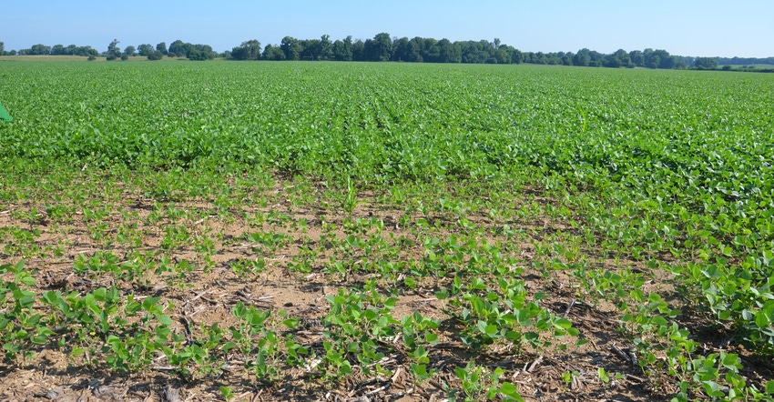
Ceres Imaging recently acquired more venture capital to develop even more sophisticated crop management programming.
Jeff Brown wants to know what makes corn tick. If Mother Nature provides a good growing season, what does it take to hit home-run yields?
He knows it takes scouting. But Brown, who farms at Blue Mound, Ill., says he can scout much more efficiently if he uses aerial imagery to pinpoint where to look. He’s in his first season of relying on aerial imagery from weekly fixed-wing flights over his fields to help improve scouting effectiveness.
Brown is no stranger to scouting or imagery. He relied on satellite images in the past. So far, he’s finding the high resolution of the fixed-wing images is helping him pick up subtle differences in crops that he might not have seen before.
High resolution
“Sometimes you might not even see it unless you look really close — if you were actually in the field,” Brown adds. “These images pick up minute differences in color and other factors which indicate that something is different about crops growing in one place vs. another place. Once you know there is something different, it’s still up to you to figure out what caused it, and what, if anything, you can do about it.
“Access to good aerial images on a consistent basis doesn’t eliminate the need for scouting. It just makes time spent scouting more effective.”
Brown’s images from aerial flights are provided by Ceres Imaging. His fields in the program are typically flown weekly. “If they fly fields on Tuesday, I have images by Thursday,” he says. “That’s quick enough turnaround to allow me to go to spots which are different, determine what’s going on and take action if necessary.”
The images are delivered to Brown through an app on his phone. His phone functions as an iPad in the field. “I can go out to the spot where things look different, and look at the images and crop at the same time,” he says. “That makes scouting very convenient. I can also look back at flights from previous weeks and compare changes over time.”
Brown goes one step further. He uses Climate FieldView from The Climate Corporation to track the bigger picture of everything impacting yields throughout the season. He turns aerial images into another layer of information in Climate FieldView to add that much more knowledge about what’s happening in the field.
Future for imaging
Ceres Imaging, based in Oakland, Calif., describes itself as an aerial spectral imagery and analytics company. Earlier this year, Ceres Imaging entered into an agreement with Insight Venture Partners. The arrangement added $25 million of venture capital so Ceres Imaging can further develop analytical products for agriculture. This year’s round of venture capital funding was the largest single investment in the agricultural spectral imaging market to date, Ceres Imaging officials say.
The goal is to use proprietary image sensors, computer vision, machine learning and plant science to allow farmers like Brown to react to changes in their fields weeks before they could detect them otherwise.
“Our imagery helps farmers cope with a changing world full of challenges, such as climate variability, labor shortages and depressed markets,” says Ashwin Madgavkar, founder and CEO of Ceres Imaging.
You May Also Like
Current Conditions for
46°F
Mostly Cloudy
Day 62º
Night 45º
Enter a zip code to see the weather conditions for a different location.


